Lot
551
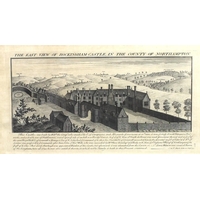
Lot 551
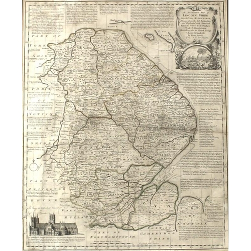
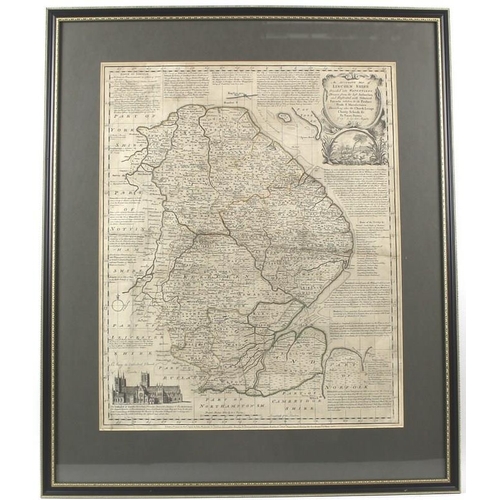
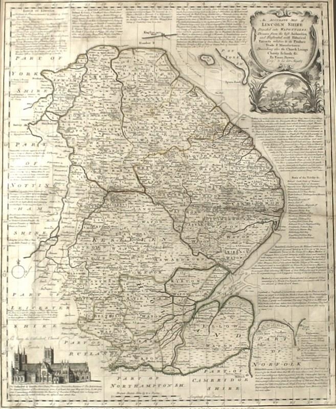
Emanuel Bowen ( British, 1694-1767): A map of Lincolnshire, ...
NOTICE: Sorry, no more bids are being accepted for this sale.
1/3


Hammer
£60
Emanuel Bowen ( British, 1694-1767): A map of Lincolnshire, printed by 'Rob Sayers and John Bennett, no 53 Fleet St, et John Bowles, no 13 Cornhill and Barrington Bowles, No 69 St Paul's Church Yard', dated 1777, with title 'An Accurate Map of Lincoln Shire divided into Wapontakes', 51 by 41cm.
Catalogue Only
Auction Date:
6th Aug 2016
at
1pm
Fees apply to the hammer price:
18% inc VAT*
*These fees include buyers premiums and internet surcharges.Please see the auctioneers terms & conditions for more information
Other Lots in this Auction
Sale Dates:
6th Aug 2016 1pm
(Lots 501 to 900)