Lot
189
Lot 189
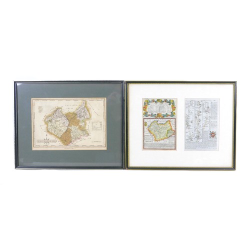
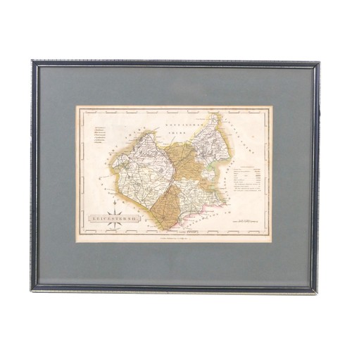
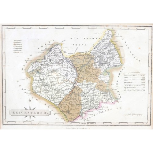
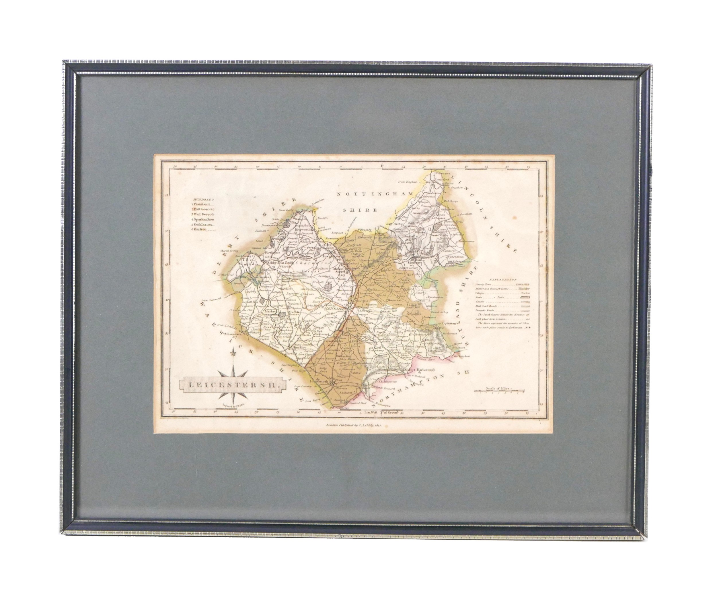
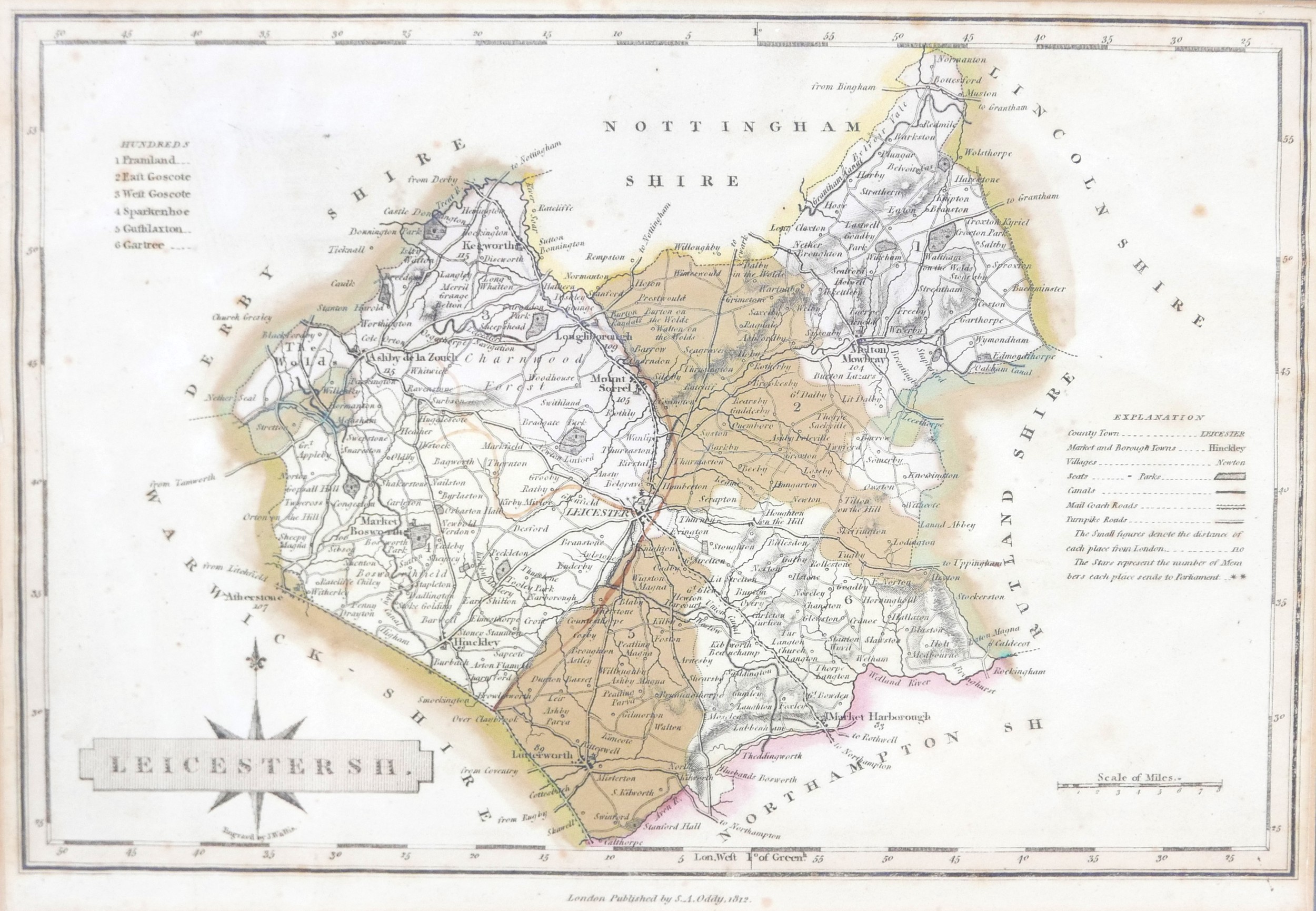
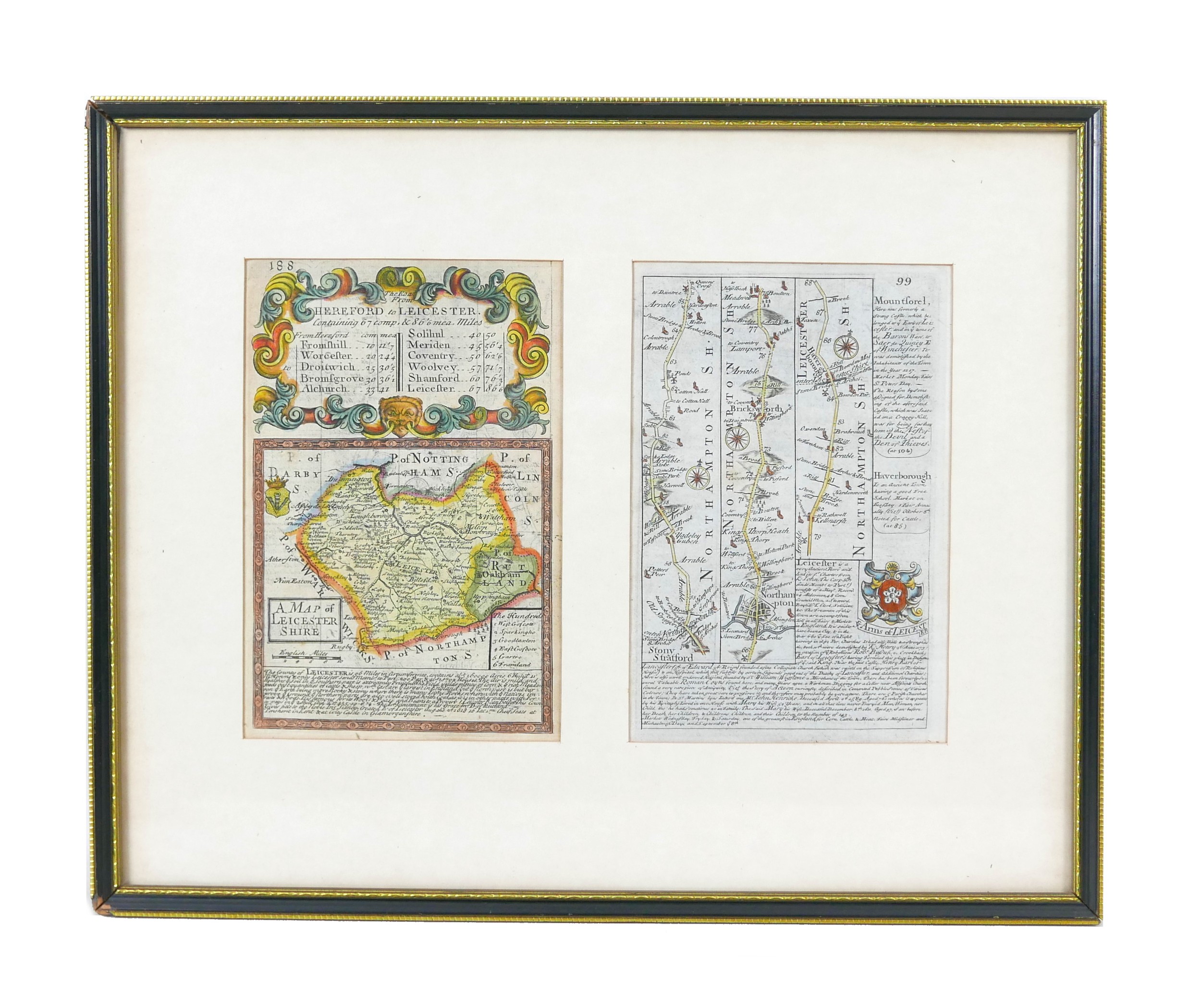
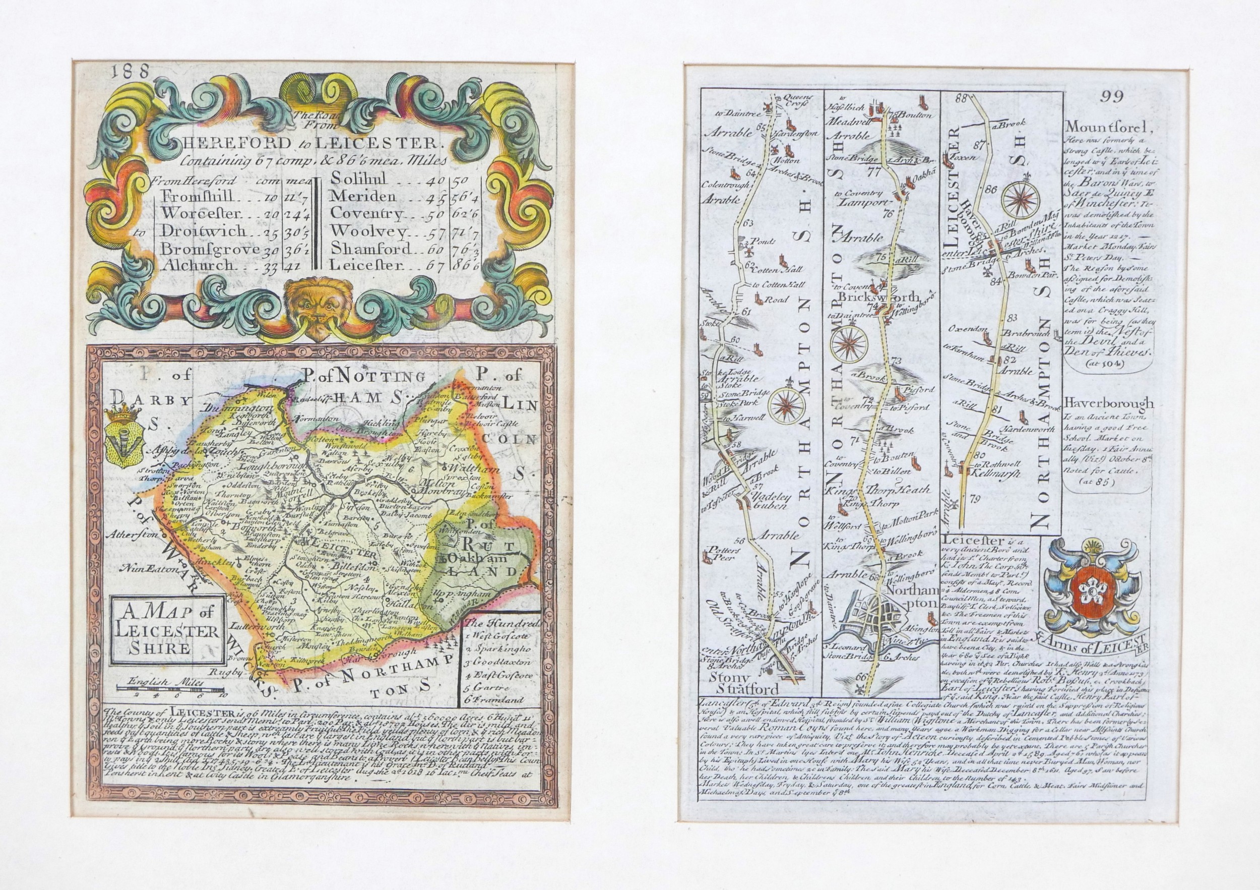
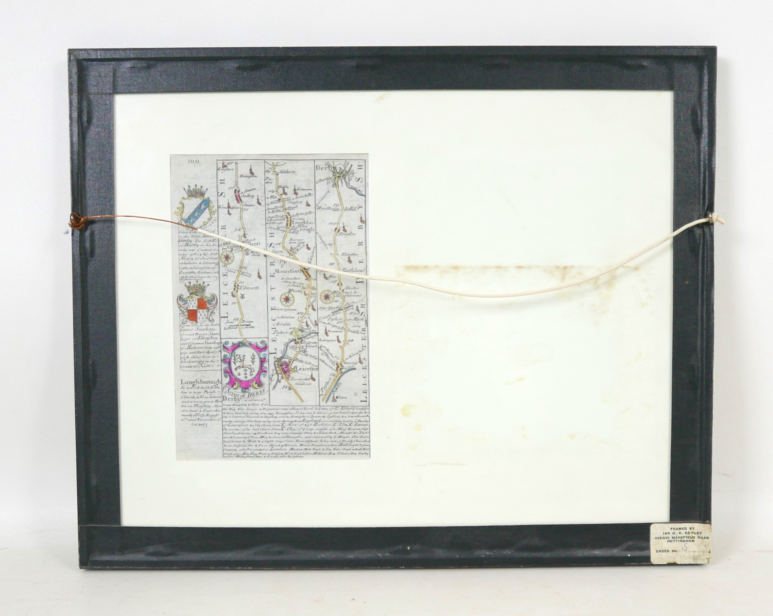
Two 18th century maps, an 18th century engraving, ‘Leicester...
1/7
Estimate
£60 - £80
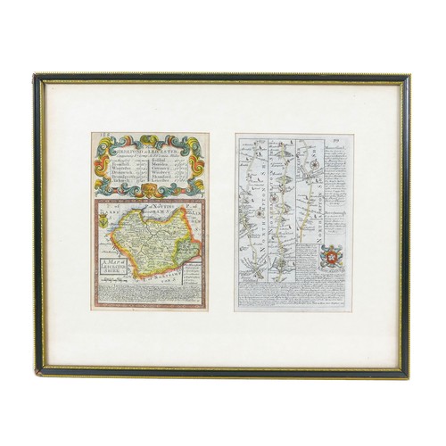
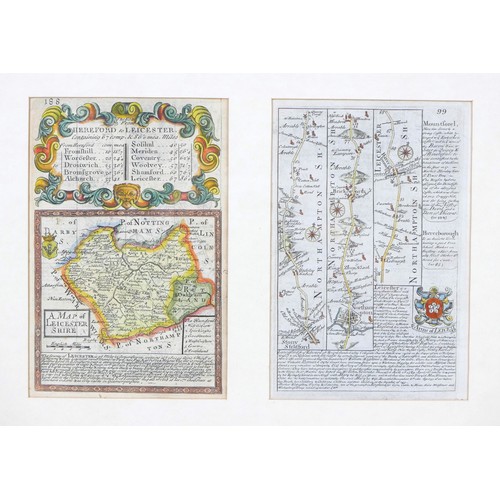
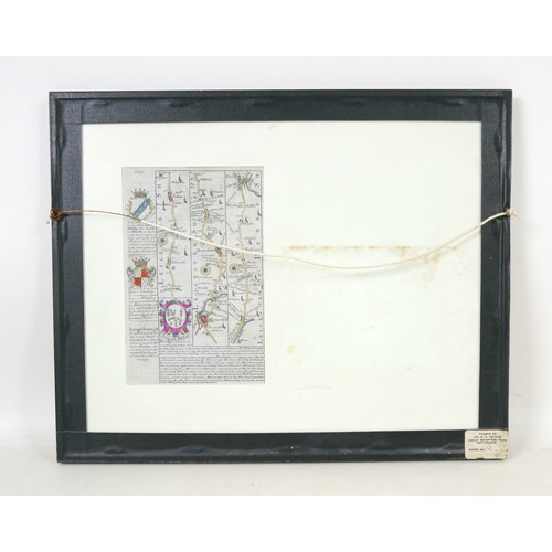
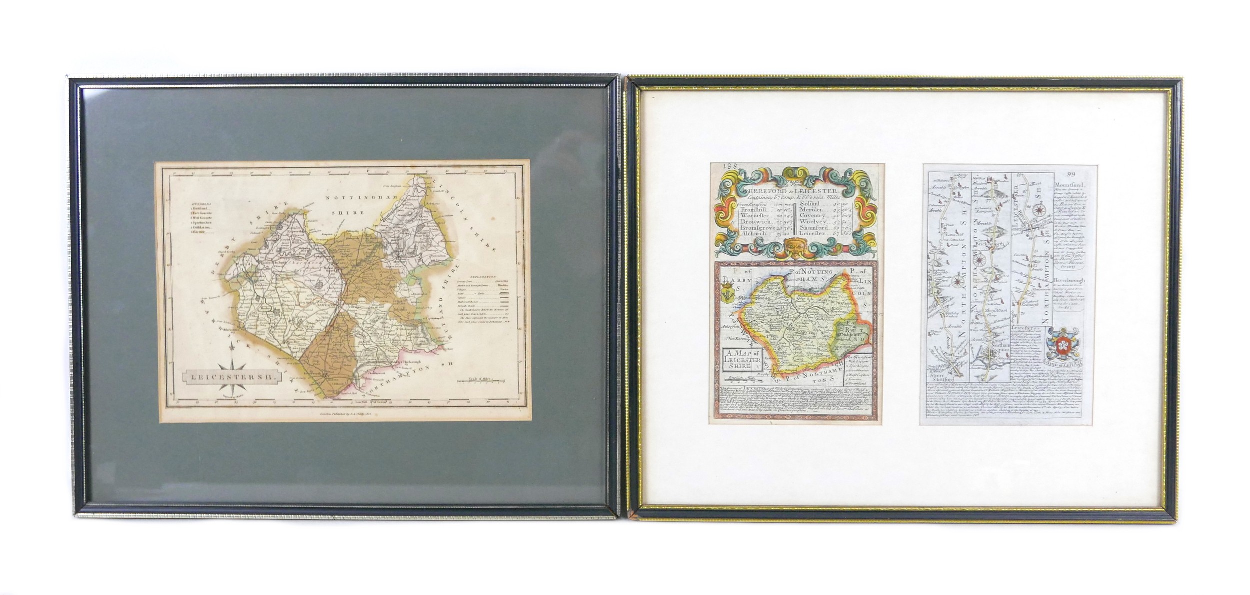
Two 18th century maps, an 18th century engraving, ‘Leicestershire’, framed together with an 18th century road map, each 18 by 12cm, together with another map of Leicestershire, ‘S.A. Oddy, 1812’, 18 by 26cm. (2)
Closed
Auction Date:
6th Aug 2022
at
10am
Fees apply to the hammer price:
Room and Absentee Bids:
24% inc VAT*
Online and Autobids:
24% inc VAT*
Please see the auctioneers terms & conditions for more information
Other Lots in this Auction

Sale Dates:
6th Aug 2022 10am
(Lots 1 to 280)